Polygons Layer
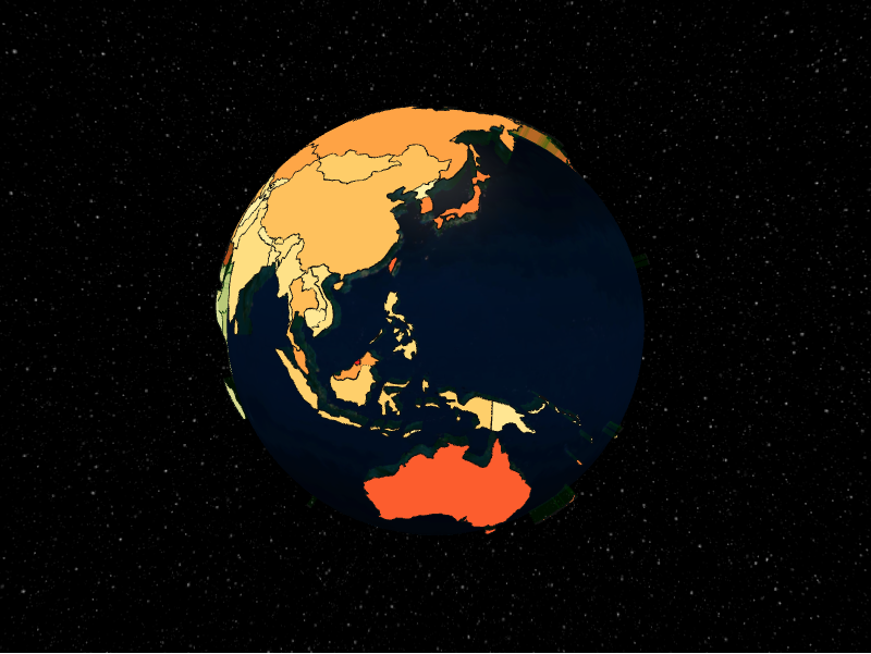
The polygons layer extrudes GeoJSON polygons into 3D caps and sides. Geometry is
supplied as a geojson_pydantic.Polygon
inside a PolygonDatum.
from IPython.display import display
from geojson_pydantic import Polygon

from pyglobegl import (
    GlobeConfig,
    GlobeLayerConfig,
    GlobeWidget,
    PolygonDatum,
    PolygonsLayerConfig,
)

polygon = Polygon(
    type="Polygon",
    coordinates=[
        [
            (-10, 0),
            (-10, 10),
            (10, 10),
            (10, 0),
            (-10, 0),
        ]
    ],
)

config = GlobeConfig(
    globe=GlobeLayerConfig(
        globe_image_url="https://cdn.jsdelivr.net/npm/three-globe/example/img/earth-day.jpg"
    ),
    polygons=PolygonsLayerConfig(
        polygons_data=[
            PolygonDatum(geometry=polygon, cap_color="#ffcc00", altitude=0.05)
        ],
    ),
)

display(GlobeWidget(config=config))
PolygonDatum
A polygon carries its geometry plus appearance fields such as cap_color,
side_color, stroke_color, and altitude (extrusion height).
Ring winding order
Either winding renders correctly. globe.gl follows d3-geo's spherical
convention, which is the reverse of the GeoJSON spec's right-hand rule, so
pyglobegl rewinds each polygon in the browser before drawing it. The geometry
on your PolygonDatum is left as you supplied it, and the GeoPandas helpers
emit spec-compliant rings: exteriors counter-clockwise, holes clockwise.
Each ring is read as the smaller of the two regions it divides the sphere into,
so a single polygon cannot cover more than half the globe.
Custom tooltip
PolygonDatum.label is each polygon's hover tooltip. To compute one from the datum
or share a constant across the layer, set a layer-level polygon_label — a
frontend Python callback (datum → string),
a plain string (one tooltip for every polygon), or None (the default) to use each
datum's label. Swap it at runtime with GlobeWidget.set_polygon_label(...).
From a GeoDataFrame
polygons_from_gdf defaults to a geometry column named polygons if present,
otherwise the active geometry column. See
GeoPandas helpers.