Labels Layer
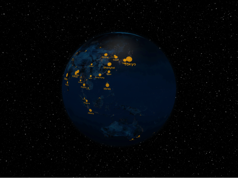
The labels layer places text labels (optionally with a marker dot) at
coordinates on the surface. Each label is a LabelDatum.
from IPython.display import display

from pyglobegl import GlobeConfig, GlobeWidget, LabelDatum, LabelsLayerConfig

labels = [
    LabelDatum(lat=0, lng=0, text="Center", color="#ffcc00"),
    LabelDatum(lat=15, lng=20, text="North", color="#66ccff", include_dot=True),
]

config = GlobeConfig(labels=LabelsLayerConfig(labels_data=labels))

display(GlobeWidget(config=config))
LabelDatum
A label carries lat, lng, text, and color, plus styling fields such as
size, dot_radius, include_dot, and label_orientation.
Custom tooltip
LabelDatum.label is each label's hover tooltip (distinct from the rendered 3D
text). To compute one from the datum or share a constant across the layer, set a
layer-level label_label — a
frontend Python callback (datum → string),
a plain string (one tooltip for all), or None (the default) to use each datum's
label. Swap it at runtime with GlobeWidget.set_label_label(...).
From a GeoDataFrame
labels_from_gdf builds labels from point geometries with a text column;
pass extra columns through include_columns=. See
GeoPandas helpers.