Arcs Layer
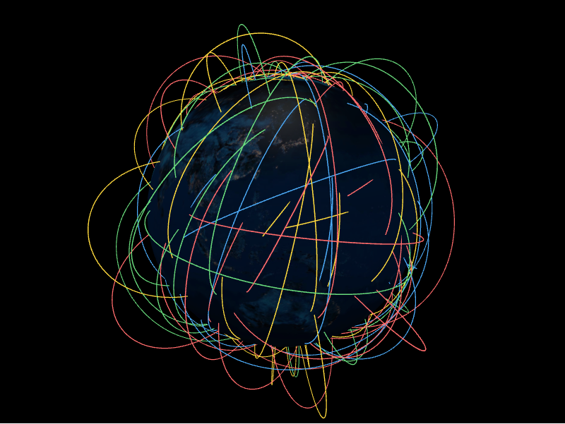
The arcs layer draws great-circle arcs between two coordinates, lifted off the
surface by altitude. Each arc is an ArcDatum.
from IPython.display import display

from pyglobegl import (
    ArcDatum,
    ArcsLayerConfig,
    GlobeConfig,
    GlobeLayerConfig,
    GlobeWidget,
)

arcs = [
    ArcDatum(
        start_lat=0,
        start_lng=-30,
        end_lat=10,
        end_lng=40,
        altitude=0.2,
        color="#ffcc00",
        stroke=1.2,
    ),
    ArcDatum(
        start_lat=20,
        start_lng=10,
        end_lat=-10,
        end_lng=-50,
        altitude=0.1,
        color="#ffcc00",
        stroke=1.2,
    ),
]

config = GlobeConfig(
    globe=GlobeLayerConfig(
        globe_image_url="https://cdn.jsdelivr.net/npm/three-globe/example/img/earth-day.jpg"
    ),
    arcs=ArcsLayerConfig(arcs_data=arcs),
)

display(GlobeWidget(config=config))
ArcDatum
An arc is defined by its endpoints (start_lat, start_lng, end_lat,
end_lng) plus appearance fields such as altitude, color, and stroke.
Custom gradient
ArcDatum.color is a single colour or a list of discrete stops. For a continuous
gradient along each arc, set a layer-level arc_color_fn — a
frontend Python callback mapping a position t
in [0, 1] (0 at the start, 1 at the end) to a CSS colour string. When set it
overrides the per-datum colour for every arc, and globe.gl samples it at
data-change time (not per animation frame).
The callback signature is the exported ColorInterpolator alias; annotate your
function against it so your editor can check it where you pass it.
from pyglobegl import ColorInterpolator, frontend_python


@frontend_python
def gradient(t: float) -> str:  # ColorInterpolator: (t in [0, 1]) -> CSS colour
    red = int(255 * (1 - t))
    return f"rgb({red},30,{int(255 * t)})"


config = GlobeConfig(arcs=ArcsLayerConfig(arcs_data=arcs, arc_color_fn=gradient))
Pass None (the default) to keep per-datum colours, or swap it at runtime with
GlobeWidget.set_arcs_color_fn(...).
Custom tooltip
ArcDatum.label is each arc's hover tooltip. To compute one from the datum or
share a constant across the layer, set a layer-level arc_label — a
frontend Python callback (datum → string),
a plain string (one tooltip for every arc), or None (the default) to use each
datum's label. Swap it at runtime with GlobeWidget.set_arc_label(...).
From a GeoDataFrame
arcs_from_gdf expects point geometry columns named start and end
(override with start_geometry= / end_geometry=). See
GeoPandas helpers.